
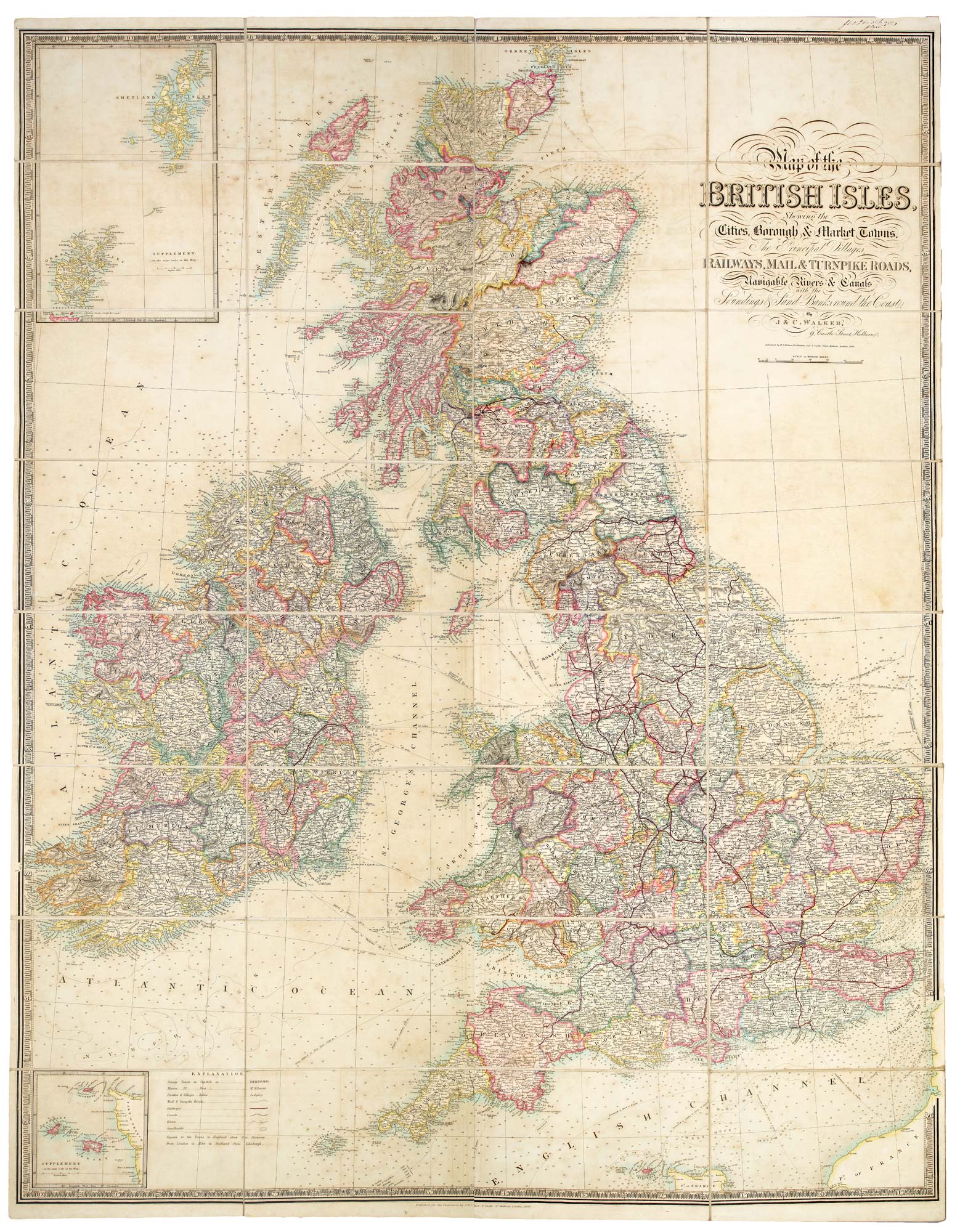
A folding map of the British Isles with fine hand colour
WALKER, J. & C.
Map of the British Isles, Showing the Cities, Borough & Market Towns, Navigable Rivers & Canals with the Soundings & Sand Banks round the Coast.
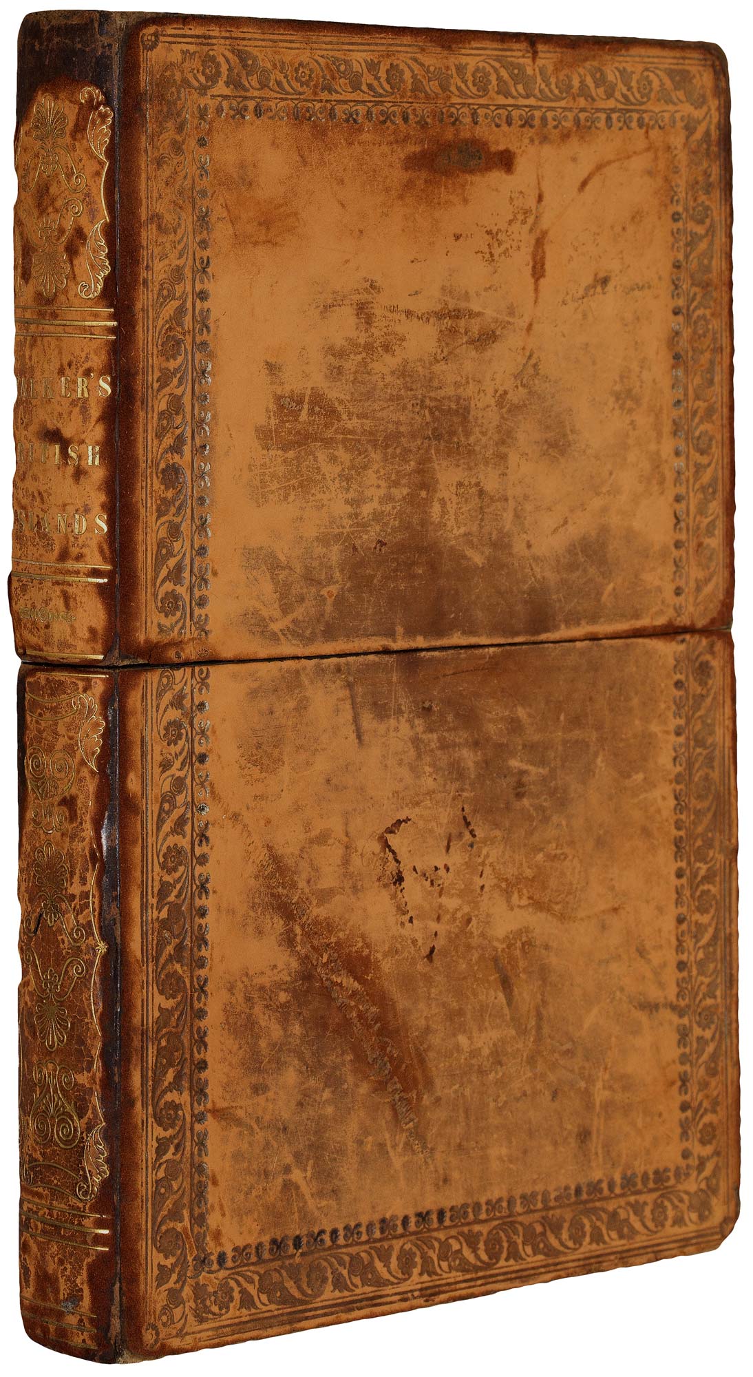
Darlington: W.C. Hobson & London: J. & C. Walker,1840. Original colour. Dissected and laid on linen, as issued, total 1285 x 1000mm, folded into original full calf gilt box.
Some age-toning of paper; box distressed.
A large map of the British Isles, with two insets: the Orkneys & Shetlands, and the Channel Islands. The colour delineates the counties, with red lines for the railways.
Although the map is dated 1840 the hand colouring seems to have been added a decade later, as one of the railways marked is the Dublin-Kilkenny line, run by the Great Southern and Western Railway Company.
Stock ID : 20877
£700
£700

A folding map of the British Isles with fine hand colour
WALKER, J. & C.
Map of the British Isles, Showing the Cities, Borough & Market Towns, Navigable Rivers & Canals with the Soundings & Sand Banks round the Coast.
Darlington: W.C. Hobson & London: J. & C. Walker,1840. Original colour. Dissected and laid on linen, as issued, total 1285 x 1000mm, folded into original full calf gilt box.
Some age-toning of paper; box distressed.
A large map of the British Isles, with two insets: the Orkneys & Shetlands, and the Channel Islands. The colour delineates the counties, with red lines for the railways.
Although the map is dated 1840 the hand colouring seems to have been added a decade later, as one of the railways marked is the Dublin-Kilkenny line, run by the Great Southern and Western Railway Company.
Stock ID : 20877
£700
£700


Altea Antique Maps & Charts
Altea Gallery Ltd, 35 St George Street
London
W1S 2FN
United Kingdom
Tel: +44 20 7491 0010
info@alteagallery.com
Sitemap :

